 Editor Fallon is an easy going sort. He rarely cracks the whip and is open minded with regard to content – he’ll even let the odd swear word through. In fact, his only dictum is to never mention religion or politics.
With that in mind, Fishpool will make no mention of the underfunding of the Environment Agency, the winter floods, the impact of dredging or the resignation of Sir Philip Dilley. Instead let us focus on a tool that we anglers truly can thank the EA for.
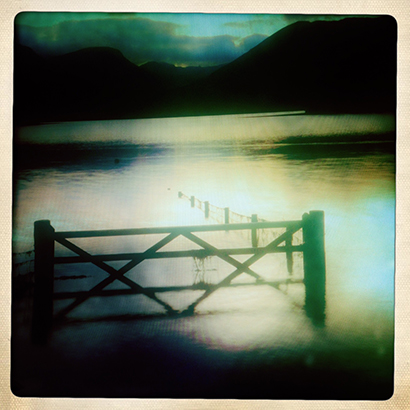
In a time of ever fluctuating weather, with unprecedented rainfall and ‘once in a lifetime’ floods coming around every couple of years, anglers need to keep a close eye on river conditions to save a wasted journey or, more importantly, avoid a hazardous situation. There are 1800 monitoring stations across England and Wales (SEPA operate similarly in Scotland) which are updated regularly and the information offered to the public. It might not make sense straight away, but once used a few times, the trends in water levels can be of major use to anglers.
More details are at http://apps.environment-agency.gov.uk/river-and-sea-levels/ or
http://apps.sepa.org.uk/waterlevels/ in Scotland.
Of course, Murphy’s Law dictates that now that I’ve drawn attention to it, it’s been moved. You can now find it here:
https://flood-warning-information.service.gov.uk/river-and-sea-levels
http://www.naturalresources.wales/our-evidence-and-reports/maps/river-levels-online?lang=en